


The DENR Mines and Geosciences Bureau Regional Office-6 (MGB-6) presented the geologic hazard map of Oton, Iloilo to the municipality’s Sangguniang Bayan (SB) and Punong Barangays at the sanggunian session hall on September 30, 2015.
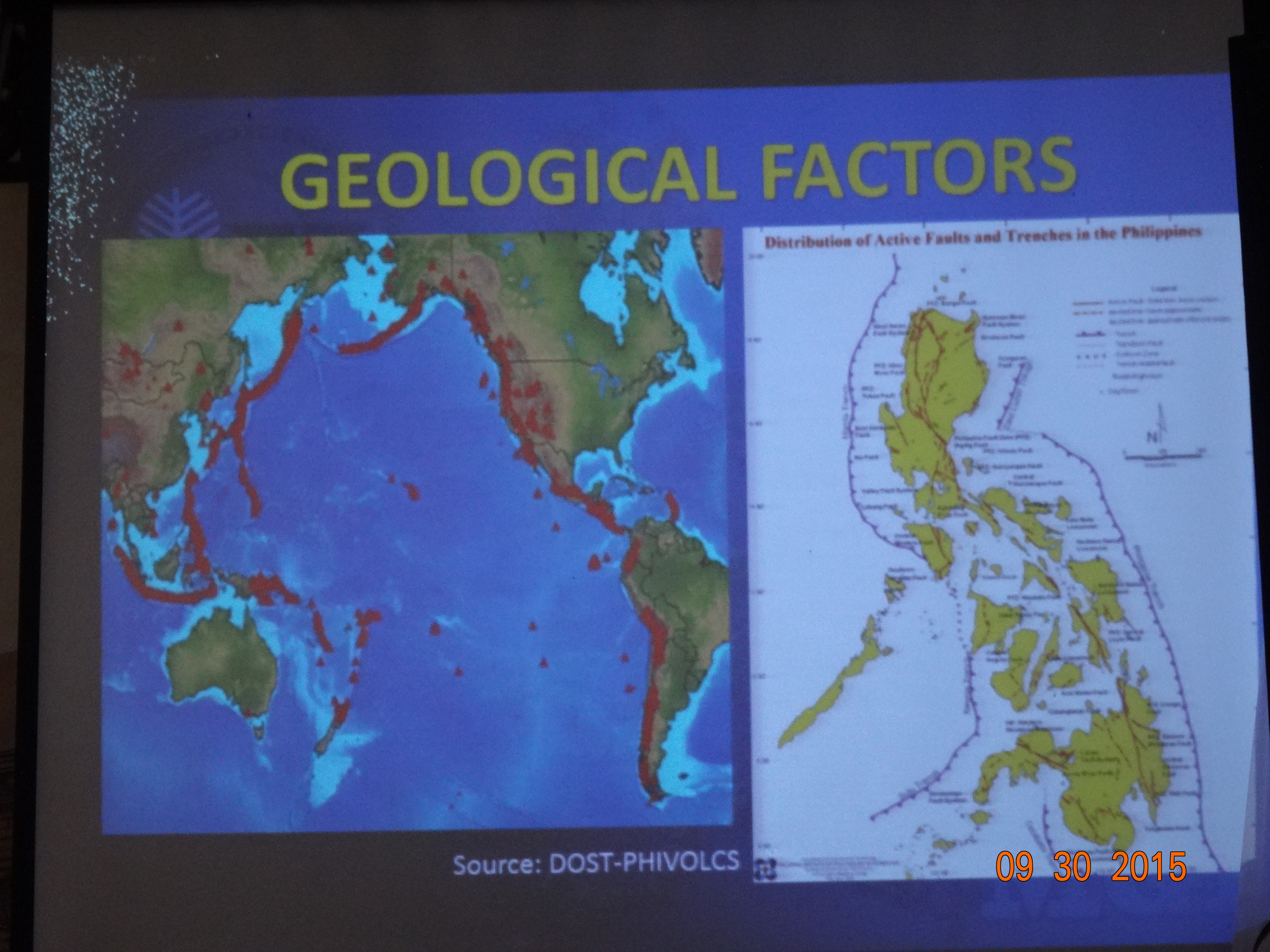
OIC-Chief of the Geosciences Division MGB-6 Mae Y. Magarzo explained that the geologic hazard (or geohazard) map is on a scale of 1:10,000 which provides detailed information on the susceptibility of the sitios and barangays to rain-induced landslides and flood.
MGB embarked on a detailed or on a 1:10,000 scale geohazard mapping and assessment program in 2011 and was completed in 2014. It also generated and distributed 1:10,000 geohazard maps to the LGUs, and conducted information and education activities to gather their feedback.
“The detailed geohazard mapping takes off from the previous 1:50,000 geohazard maps and identifies specific high risk zones, critical sites, and unstable areas within the target areas. In the detailed geohazard mapping, geologists further identify possible relocation and evacuation sites in the event of natural disasters. Part of the program is the installation of landslide and flood warning signages in identified critical areas” said Magarzo.
She further added that the geohazard maps are easily understandable and through color coding, one can easily see the level of susceptibility of an area from low, moderate, high to very high. The maps will serve as a useful reference in the physical and development planning, and a useful input in the disaster risk reduction and management (DRRM) strategies of the local government.
The members of the Sanguniang Bayan of the Municipality of Oton expressed their appreciation on the efforts of the national government to provide technical information on crucial matters particularly on the areas susceptible to geologic hazards in their municipality.
MGB-6 Regional Director Leo Van V. Juguan, CESO V said that the continuous information and education activities of his agency aims to create more awareness and learning on the causes and impacts of rain-induced landslides and flood, and recommend possible mitigation measures to prevent disasters. (LAA)